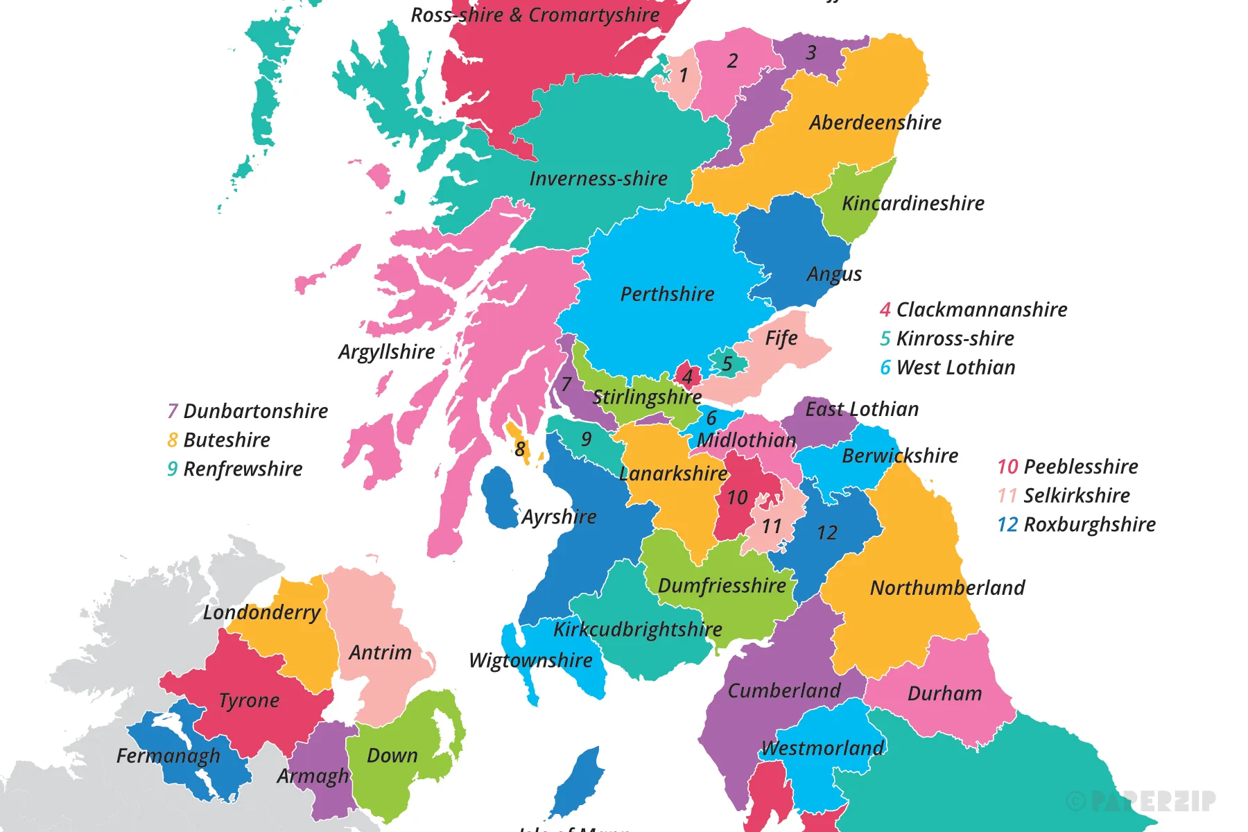
A printable map displaying the names and boundries of the counties in Great Britain and Northern Ireland.
It is available in two sizes: A4 and A3 (split over two pages).
This map has since been updated. Please see the new version here: UK Map of Local Authority Districts, Counties and Councils
